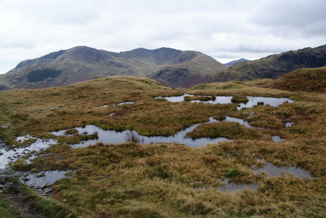
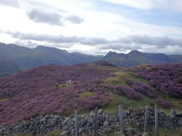
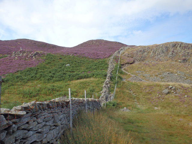
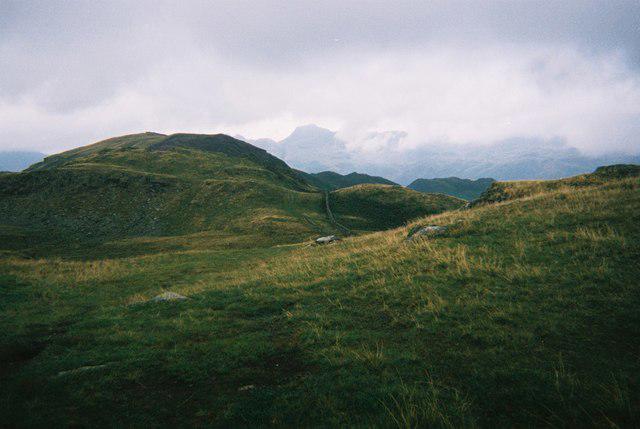
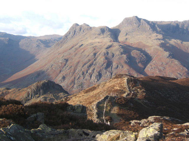
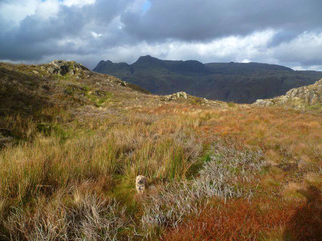
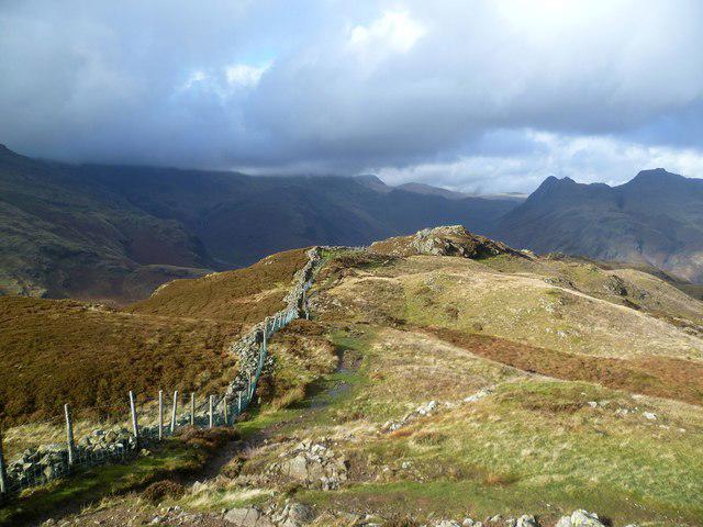
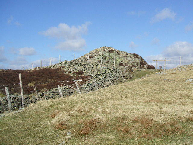
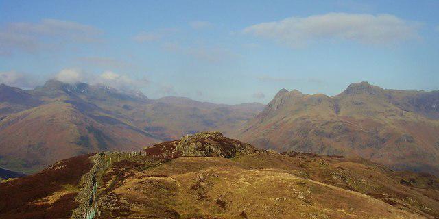
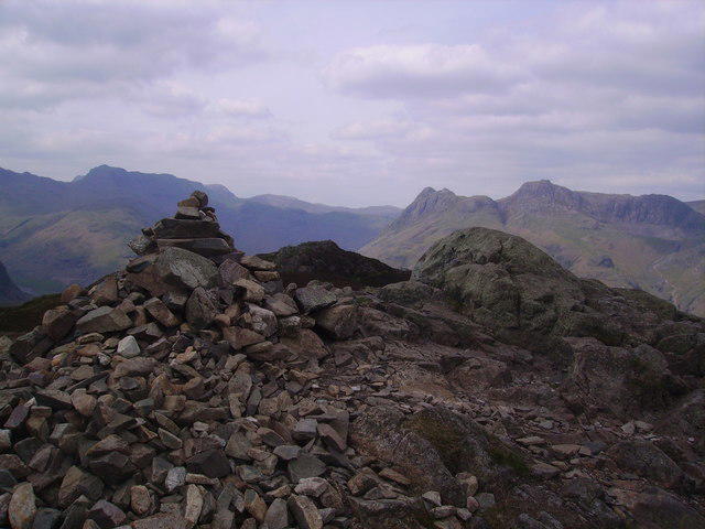
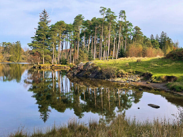
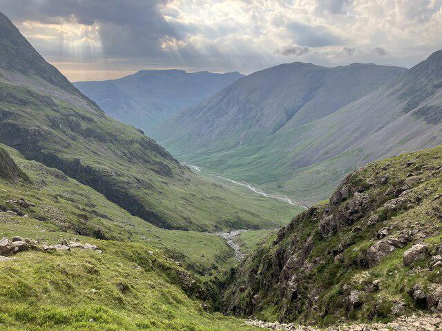
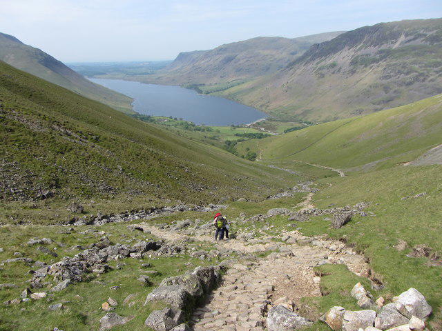
Lingmoor Fell [Brown How]

Lingmoor Fell [Brown How]

Lingmoor Fell [Brown How] Group Walks | Join a Walk

470m Elevation
248m Prominence
England Country

Join group walks, find walking companions and friends, or organise your own!

Classifications

Marilyn 400-499m Tump Wainwright Birkett Sy Fellranger

Looking for walking companions?

Don't walk alone! Find friendly walkers to explore Lingmoor Fell [Brown How] together. Join scheduled group walks or start your own.

Elevation

470m

1,542 ft

Prominence

248m

Coordinates

54.4321, -3.0764

NY302046

OS Map

90

Explorer: OL6N OL7N

At the Summit

At the summit, you'll find a small stone cairn and a stunning panoramic view of the surrounding fells and valleys.

Terrain & Geology

Rocky and grassy with a mix of gentle slopes and steeper ascents ideal for those who enjoy a bit of legwork.

Lingmoor Fell is primarily composed of Borrowdale Volcanic Group rocks, which are formed from ancient volcanic activity. This results in a rugged terrain that gives the fell its characteristic steep slopes and dramatic cliffs.

Views & Scenery

From the summit, you can see the majestic peaks of the Langdale Pikes and the tranquil waters of Little Langdale Tarn. On a clear day, even the distant peaks of Scafell and Bowfell can be seen.

History & Heritage

Name Origin

The name 'Lingmoor' comes from the Old Norse words for 'heath' and 'moor', which reflects the terrain.

Historical Significance

Lingmoor Fell has historical significance tied to the local farming communities and has been a popular hiking destination for decades.

Popular Routes

Lingmoor to Blea Tarn Circular

Moderate

A popular circular route starting from the village of Elterwater, taking in breathtaking views and the serene Blea Tarn.

6.5 km 3.5 hours

The Langdale Pikes Route

Challenging

This route connects Lingmoor Fell with the impressive Langdale Pikes, offering stunning panoramas of the surrounding fells.

8 km 4.5 hours

Getting There & Facilities

Parking

The nearest parking is available at the National Trust car park in Elterwater, a short walk from the trailhead.

Public Transport

The area is served by local bus services from Ambleside and Grasmere.

Nearby Facilities

There are a few lovely cafes in Elterwater, perfect for a post-hike treat, and public toilets are available at the village.

Safety Information

Known Hazards

  • Uneven and rocky paths can make ankle support advisable; beware of slippery sections after rain.

General Safety Tips

  • Check weather conditions before setting out
  • Carry appropriate clothing and equipment
  • Let someone know your planned route
  • Take a map, compass, and GPS device
  • Carry emergency supplies: food, water, first aid kit, torch

Find Walking Companions

Join friendly walkers exploring Lingmoor Fell [Brown How] and surrounding area

Can't find a walk? Organise your own!

Create a walk and let others join you. It's free and easy!

Hills

Some common questions about the hills answered

Are there group walks up Lingmoor Fell [Brown How]?

Many walkers use Walkmates to join or organise walks with others. You can check for group walks around Lingmoor Fell [Brown How] through the maps

Are there other walkers around Lingmoor Fell [Brown How]?

Activity varies by location and time, but Walkmates lets you see whether others have shared walks or shown interest in this area. Find other people through the walking friends search walking friends for Lingmoor Fell [Brown How] search or of course create your own walk for Lingmoor Fell [Brown How]

Can I organise a walk to Lingmoor Fell [Brown How]?

Yes. If there aren’t any walks listed already, you can create a walk and make it available for others to join.

If you're signed up to Walkmates, you can create a walk to Lingmoor Fell [Brown How].

How do I find a walk up this hill?

There are often multiple ways to walk this hill, depending on experience and route preference. Walkmates helps you explore walks and routes that others have shared.

Can I suggest a new route up Lingmoor Fell [Brown How]?

Yes. You can suggest or create routes to share with others. Walkmates focuses on the social side of walking, so routes are used to help people organise walks and explore areas together, rather than as detailed navigation tools or route libraries.

Other uses really appreciate knowledgeable walkers sharing their routes. Share your favourite route to Lingmoor Fell [Brown How] here

The is an error or something incorrect about this hill. How do I let you know?

We always strive to keep the information on Walkmates as accurate as possible. If you find an error, please let us know through the contact form and we'll aim to correct it as quickly as possible